
 Type:
Units: 2
Type:
Units: 2
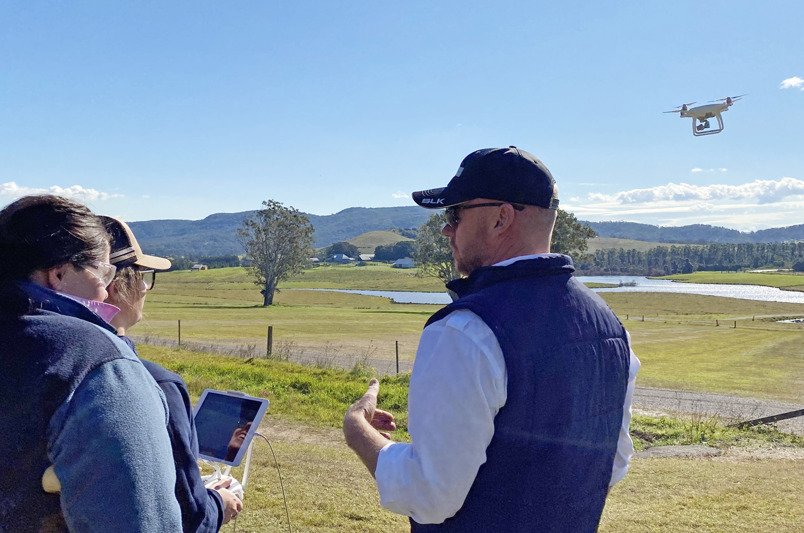
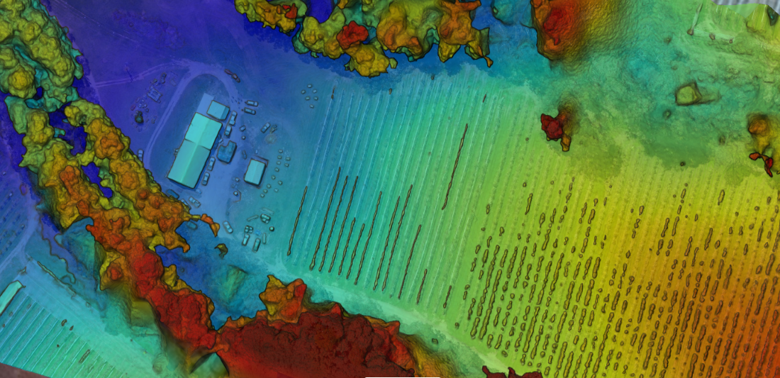
Farm mapping and data collection
Delivered by experienced industry specialists, this course will teach you how to convert images into high resolution geo referenced land maps, crop maps and elevation models. These maps can be used to adjust spray applications, plan fertilizer programs, assess water flows, identify resistant weeds and refine long term management plans.