

 Type: Short course
Units: 2
Type: Short course
Units: 2
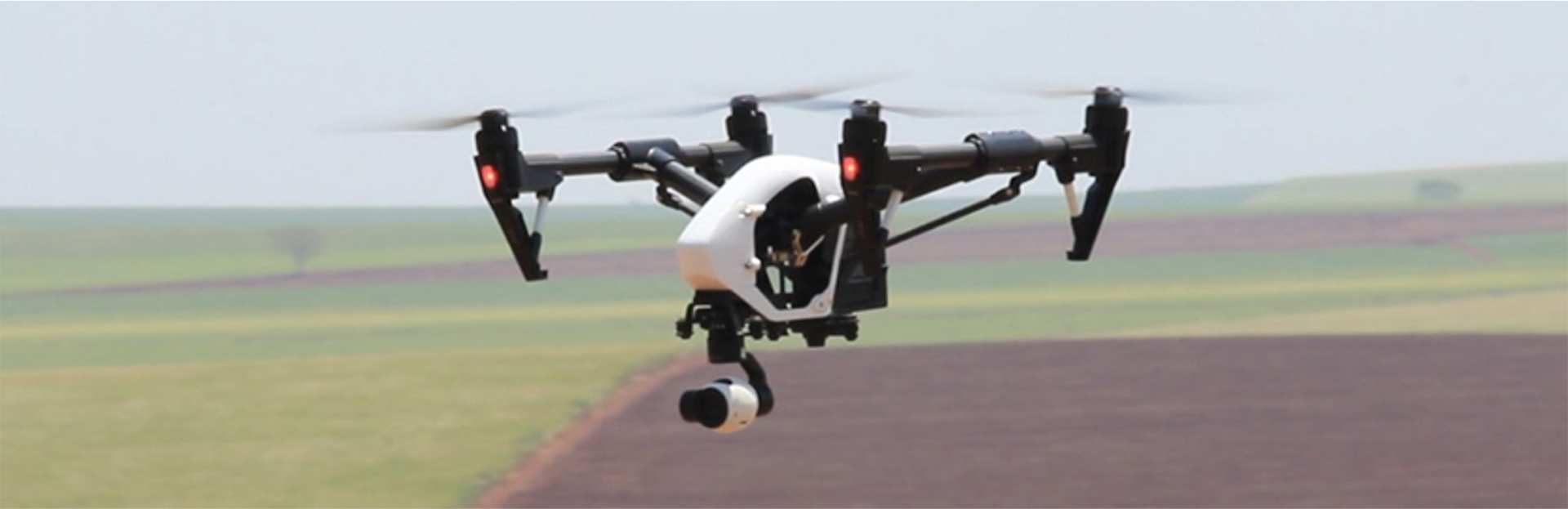
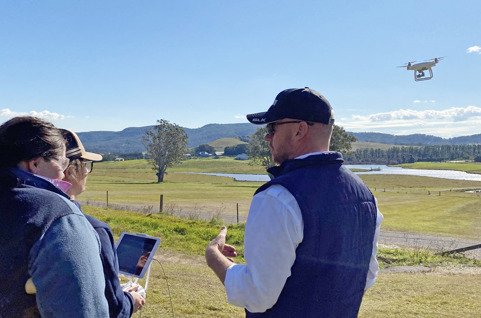
Drones in agriculture
This course will teach you how to use drones to collect farm data to help make informed decisions such as refined fertiliser plans, sowing plans or monitoring water systems.