About this course

Turn farm data into useful maps for better decisions

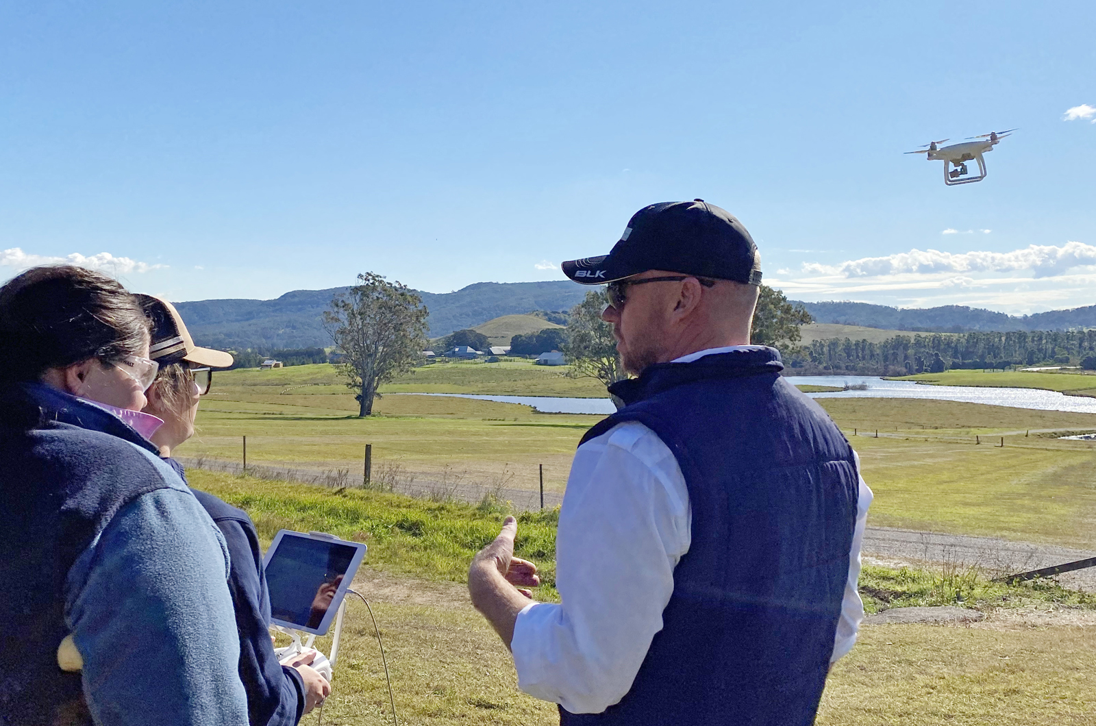
Collecting information about your land can help you make better decisions about crops, weeds, fertiliser and water. This hands-on course will teach you how to turn drone images and other data into detailed maps that can be used for practical farm planning and management.

You’ll learn how to:

  • safely collect crop and mapping data
  • use Geographic Information System (GIS) mapping tools
  • process data to create detailed production and land maps
  • analyse maps to identify useful information about your property
  • export map data for use in spray maps and variable rate sowing plans
  • use mapping information to support crop, weed, fertiliser and water management decisions.

Whether you want to improve your farm planning or make better use of drone data, this course will give you practical skills to turn information into useful maps and support smarter land management decisions.

Is this course right for me?

Before registering, check that this course suits you. You’ll need to be over 16 years old and have either completed Tocal’s Drones in Agriculture course or have at least 5 hours of drone flight experience, with logbook evidence provided with your application. The course includes outdoor and practical activities, so you’ll need to wear suitable clothing for outdoor or manual work, such as long pants and long sleeves where required. Covered, sturdy footwear such as boots must be worn at all times. If you meet these requirements and want to learn how to turn drone data into useful maps for your farm, click on the register now button.

At a glance:

Location: Statewide
Course duration: 1 day face-to-face with pre-course online work
Start date: Multiple intakes
Number of units: 2
Indicative fees: $1165.00 GST free

Fee free to eligible applicants

Accredited Course: Yes

Details

$1,205 GST free

For more information contact a skills training coordinator in your area here

  • Online resources
  • Face-to-face workshop
  • Hands-on activities collecting and processing data to create maps
  • Ground truthing maps in the field.

    This course is a blend of online and face-to-face training.

  • Pre-workshop online module, readings and quiz. (Estimated time to complete is 3 hours, and completion required prior to workshop)
  • One day face- to-face workshop, including presentations, discussions, assessment quiz, observation, activities.

For anyone struggling to upload a flight log in their application we have created the video for support.

Participants must:

  • Be over 16 years of age.
  • Meet the prerequisite experience requirements by holding either of the following:
    • Completion of Tocal’s Drones in Agriculture course, OR
    • A minimum of 5 hours of logged drone flight experience (logbook evidence must be submitted with your application).
  • Wear appropriate outdoor work attire for practical activities, including long pants, long sleeves (where required), and covered, sturdy footwear (boots are mandatory at all times).
  • Have the physical capability to undertake outdoor data collection tasks in farm environments.
  • This course includes 3 hours of online pre-course work prior to training. Participants must have access to a computer, tablet or smartphone with a reliable internet connection.

Language, Literacy, Numeracy, and Digital Capability Requirements

To complete this course successfully, participants will need:

  • Reading: Interpreting spatial legends, GIS software menus, spatial resolution metrics, and technical mapping outputs.
  • Writing: Documenting flight logs, spatial data notes, and file metadata for export.
  • Numeracy: Working with geographic coordinates, spatial scales, variable rate application metrics (fertilizer/seed per hectare), area calculations, and elevation models.
  • Oral Communication & Hearing: Communicating effectively with instructors during outdoor data collection, following safety briefings, and discussing map analysis with peers.
  • Digital Literacy: Moderate computer skills to navigate Geographic Information System (GIS) software, manage large image datasets, import/export geospatial files (e.g., shapefiles/KML), and generate prescription spray maps.


This course is mapped to the following national units of competencies:

Successful completion of assessment tasks will result in achieving a Statement of Attainment and can contribute to a nationally-recognised qualification.


Additional Information

For information on students rights and responsibilities, and the Tocal College Code of Practice see Industry qualification student policies.